

Changes will be made to Shropshire Council’s ward boundary map before the next local elections, it has been confirmed.
The Local Government Boundary Commission for England (LGBCE) is to launch a review of the county’s divisional map later this year, with changes to come into effect in 2025.
It has been brought about due to a growing disparity in the number of electors each of the authority’s 74 councillors represents, with significant changes needed in some areas of the county to level things up.
The review will also influence planned changes to town and parish boundaries, which could see some parish councils merged or absorbed by expanding towns.
The council had already begun looking at town and parish boundary changes, but has now been told to halt the process until the LGBCE has completed the divisional review.
Since the council was formed in a local government reorganisation in 2009, the county has been split into 63 electoral wards. Of these, 53 are represented by a single councillor, nine have two councillors and there is one three-member division – Bayston Hill, Column & Sutton.
Each councillor currently represents an average of around 3,350 registered voters, though there are some areas where this figure varies hugely.
Council leader Lezley Picton said: “I think there will be quite significant changes.
“One of the difficulties we have got is that some of the divisions are now way over the ‘optimum’ number of voters. Shifnal is over by about 40 per cent.”
As a result of major development around the town since the 2009 ward map was drawn up, there are now 4,641 voters in Shifnal South & Cosford and 4,650 in Shifnal North.
Council leader Lezley Picton said the town and its hinterland would be a key area of focus in the review, but its location within Shropshire’s administrative boundary means any changes are likely to have significant knock-on effects on surrounding wards like Albrighton and Worfield.
Changes will also be seen in Shrewsbury, where Radbrook is the only other division in the county now exceeding 4,000 voters, and where more population growth is expected as a resullt of the Sustainable Urban Extensions (SUEs) under construction to the west and south of the town.
Councillor Picton also said the Severn Valley division, which is set to see an influx of new residents in the coming years as a result of the Ironbridge Power Station development, would be another area of major focus.
Meanwhile other divisions fall well short of the average number of voters, most notably Chirbury and Worthen, which had just 2,369 registered voters as of last year’s local elections.
However when the 2009 wards were finalised, the LGBCE said: “We recognised that due to the rural nature of this part of the county, particularly in the south-west and around the Welsh border, we faced some difficulty in formulating division arrangements that would reflect the rural geography and communication links between communities in this area while also providing good electoral equality.”
The review will formally begin in October and final changes will be published by the end of next year, to take effect from the 2025 council elections.
Councillor Picton said the council still hopes to implement town and parish boundary changes by this point too.
She said: “A lot of work for the town and parish boundary review is going to be done as part of the divisional review.”
It will include rectifying a number of “anomalies” the stemmed from the 2009 changes.
Councillor Picton said: “The divisional line between Baschurch and Tern is right in the centre of Walford Heath, and Walford Heath have been quite badly treated in terns of development.
“We have had one planning application where half the house was in Baschurch and half was in Tern. It’s little things like that.”
Other irregularities have surfaced more recently as a result of new developments being built across parish lines.
One example is the Shrewsbury South SUE, where many of the new homes off Oteley Road fall within Shrewsbury Town Council’s boundary in the Sutton & Reabrook ward, while some neighbours lie within Berrington parish and some come under Atcham.
Councillor Picton added: “The parish councils have been asked to think about what might be relevant to them.
“We are really keen to make sure the new boundaries take into account communities.”
 Latest on financial impact of Storm Claudia in November 2025
 A “community banking hub” in a Herefordshire town could shortly have a new permanent base.
 A road between two estates is to be completed
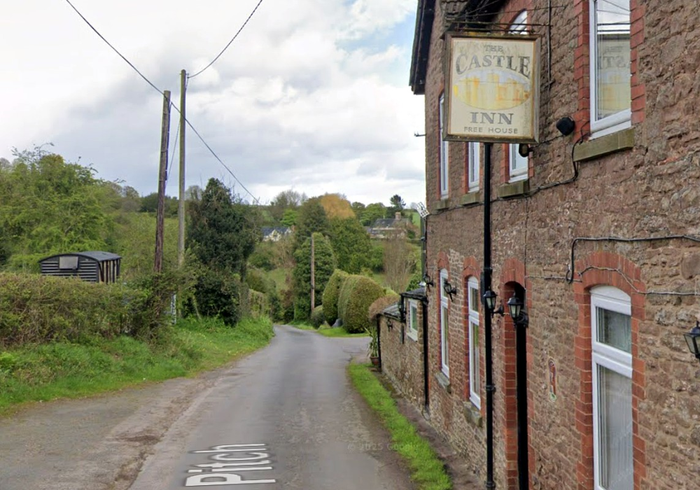 Representatives of a Herefordshire village fight loss of only pub.
 Where to Watch England in the 2026 World Cup: Top Local Spots
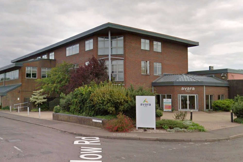 Sheds housing nearly 200,000 broiler chickens at a Herefordshire farm are to be demolished and rebuilt to a higher standard.
