
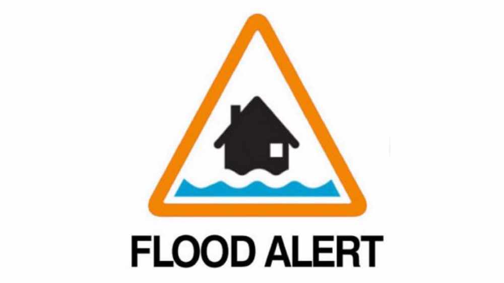
A flood alert is in place on the River Wye in Herefordshire.
The Environment Agency says it's because of wintry showers and rain over the weekend.
At 7:30 am today; Hay-on-Wye Gauge was 1.57 metres and rising. A peak level of between 2.3 and 2.7 metres is expected to occur Monday afternoon. Bredwardine Gauge was 1.66 metres and rising. A peak level of between 4.5 and 5.0 metres is expected to occur Monday evening. Belmont Gauge was 1.63 metres and steady.
A peak level of between 4.5 and 5.0 metres is expected to occur Monday overnight. Old-Wye-Bridge Gauge was 1.40 metres and steady. A peak level of between 4.0 and 4.5 metres is expected to occur Monday overnight. Mordiford Gauge was 1.71 metres and steady. A peak level of between 4.2 and 4.8 metres is expected to occur Tuesday morning. The Hereford flood barriers are not expected to be deployed.
As predicted heavy rain in Wales last night has quickly raised levels on the Wye & Severn. Multiple alerts & warning in place on both sides of border.
— Dave Throup (@DaveThroupEA) November 27, 2017
Things improving this week as drier, colder conditions become established. pic.twitter.com/xF3lv89oZR
 Rent to rise by £400 per month at Ludlow council house
 Council justifies chief exec salary
 New commercial park granted
 Potholes issue – task and finish group to be set up
 Ludlow Town Council told to fund parking order
 Eight-figure sum quoted to fix Ledbury station access
 Pothole chaos on Shropshire’s rural roads
 Shropshire Council wants to link up with Telford and Wrekin
