

A flood alert is in place on the River Wye in Herefordshire.
The Environment Agency says it's because of wintry showers and rain over the weekend.
At 7:30 am today; Hay-on-Wye Gauge was 1.57 metres and rising. A peak level of between 2.3 and 2.7 metres is expected to occur Monday afternoon. Bredwardine Gauge was 1.66 metres and rising. A peak level of between 4.5 and 5.0 metres is expected to occur Monday evening. Belmont Gauge was 1.63 metres and steady.
A peak level of between 4.5 and 5.0 metres is expected to occur Monday overnight. Old-Wye-Bridge Gauge was 1.40 metres and steady. A peak level of between 4.0 and 4.5 metres is expected to occur Monday overnight. Mordiford Gauge was 1.71 metres and steady. A peak level of between 4.2 and 4.8 metres is expected to occur Tuesday morning. The Hereford flood barriers are not expected to be deployed.
As predicted heavy rain in Wales last night has quickly raised levels on the Wye & Severn. Multiple alerts & warning in place on both sides of border.
— Dave Throup (@DaveThroupEA) November 27, 2017
Things improving this week as drier, colder conditions become established. pic.twitter.com/xF3lv89oZR
 Hereford set to be turned pink during Venus Midnight Walk for St Michael’s Hospice
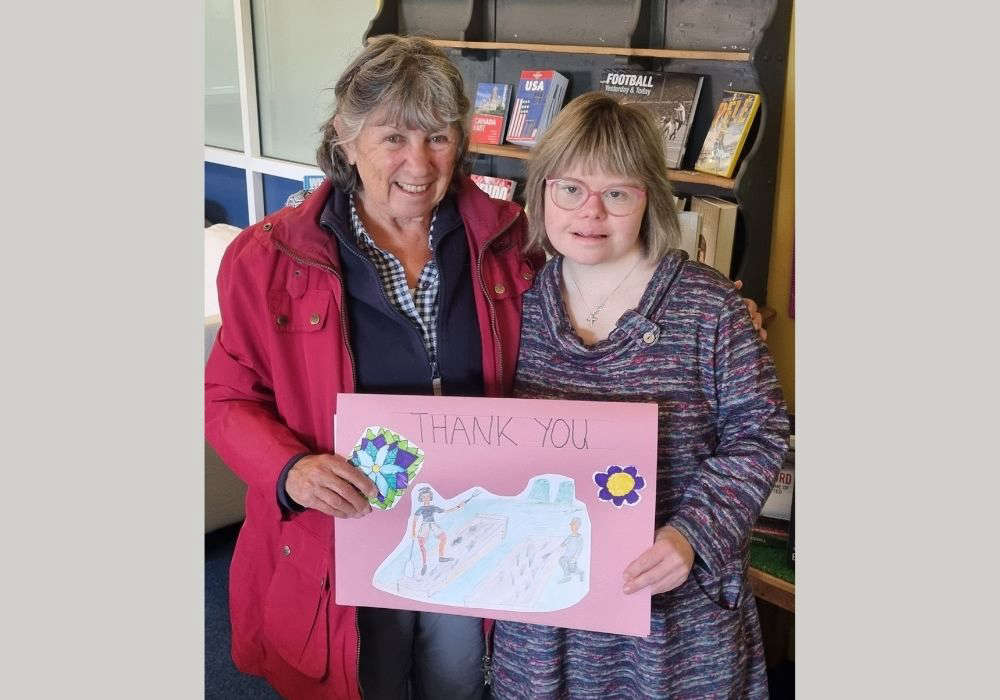 Working Together Ludlow Thanks Mayor for Donation Supporting Community Garden Renovation
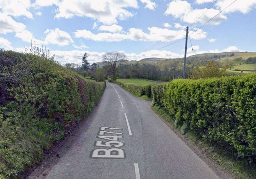 Calls for road safety study
 Thousands of NHS patients treated in hospital corridors
 Village war memorial to be restored to its former glory
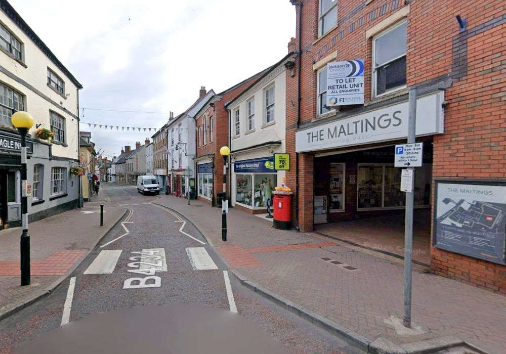 New eclectic eatery for town-centre spot
 ‘Tash’ Ashby death could yet lead to homicide inquiry
 Cats Protection Hosts Family Summer Event in Allensmore