

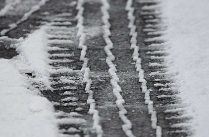
A yellow weather warning has been issued for snow and ice.
Forecasters said icy stretches are expected to develop this evening, due to ongoing wet surfaces following earlier rain and, in places, snowmelt. Frequent sleet or snow showers are also expected to affect Wales and parts of northwest England this evening, moving into southwest England, the Midlands and parts of southern England in the early hours of Tuesday. In addition to the ice, these are likely to produce snow accumulations of a few cm above 200 metres, with a small chance of greater than 5 cm above 200 metres in Wales. The heaviest snow showers may also produce temporary accumulations of 0-2 cm at low levels.
The warning covers Herefordshire, Shropshire, Monmouthshire, Gloucestershire and Worcestershire.
It will come into force from 5pm today until 10am on Tuesday.
 Date set for historic market town pub to reopen
 Works to begin at Wilton rock face.
 Blooming brilliant Green Libraries Week returns
 Appeal following Tesco burglary in Worcester
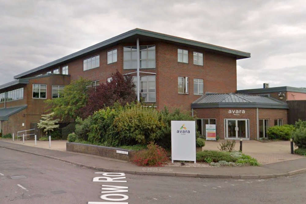 Sheds housing nearly 200,000 broiler chickens at a Herefordshire farm are to be demolished and rebuilt to a higher standard.