


Light snow and sleet have been forecast by the Met Office.
Snow could develop quite widely across the warning area on Thursday and Friday as a potentially quite deep area of low pressure moves across the UK.
Parts of Northern Ireland, north Wales and northern England are currently expected to see the worst of the conditions on Thursday, with parts of Scotland and northern England then seeing the heaviest snow on Friday.
The warning which covers Herefordshire, Shropshire, Worcestershire, Monmouthshire and Gloucestershire will be in force from 3am on Thursday until 6pm on Friday.
Met Office Chief Meteorologist Dan Suri said: “Snow, ice and low temperatures are the main themes of this week’s forecast, as the UK comes under the influence of an arctic maritime airmass as cold air moves in from the north.
“Snow is already falling in parts of the north where some travel disruption likely, as well as a chance of some rural communities being cut off. Snow showers will continue through today and Tuesday here, and Northern Ireland will also be subject to some snow showers, especially over high ground.
“Ice will provide an additional hazard for many with overnight low temperatures well below 0°C for many. Further south wintry hazards will develop with parts of England and Wales affected by icy patches and snow in places tonight and likely further snow in parts of the south early Wednesday.”
 Hereford set to be turned pink during Venus Midnight Walk for St Michael’s Hospice
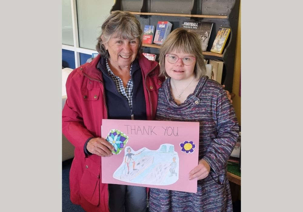 Working Together Ludlow Thanks Mayor for Donation Supporting Community Garden Renovation
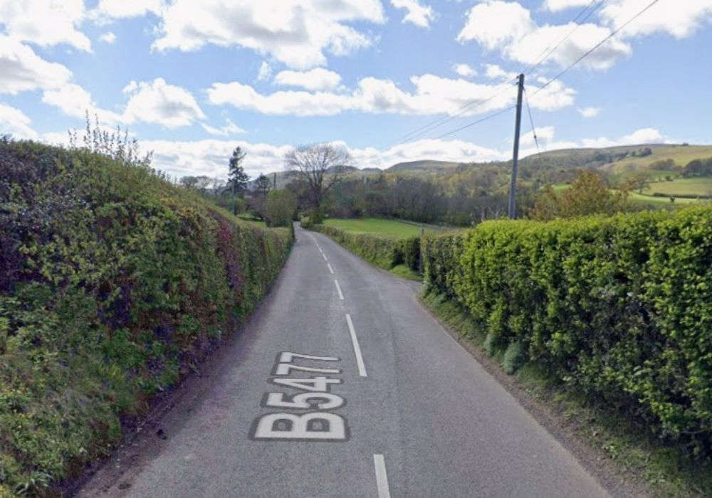 Calls for road safety study
 Thousands of NHS patients treated in hospital corridors
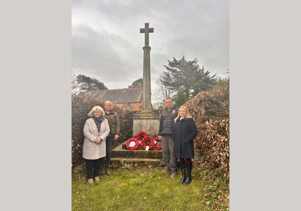 Village war memorial to be restored to its former glory
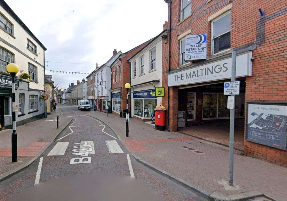 New eclectic eatery for town-centre spot
 ‘Tash’ Ashby death could yet lead to homicide inquiry
 Cats Protection Hosts Family Summer Event in Allensmore
