
The Met Office has issued a yellow weather warning for snow and ice across Herefordshire, Shropshire and Worcestershire.
The warning will be in force from 12pm on Saturday and just before midnight on Sunday.
Forecasters say cold air, along with snow showers to low levels pushing inland from the North Sea, is expected to spread south during the weekend. Not all locations will see snow, with the showers likely to miss some places altogether. In addition to the showers, there is a chance that an extended period of more persistent snowfall could impact parts of the Midlands and southeast England overnight Saturday and through Sunday.
This is all likely to bring areas of accumulating snow through the period with some icy stretches developing, with some parts seeing 5-10 cm, possibly 15 cm of snow. Although disruption from this event could occur anywhere within this region, the Midlands and south-east England is the area most likely to see disruptive snow accumulating more widely, from later Saturday until the middle of Sunday.
 Hereford set to be turned pink during Venus Midnight Walk for St Michael’s Hospice
 Working Together Ludlow Thanks Mayor for Donation Supporting Community Garden Renovation
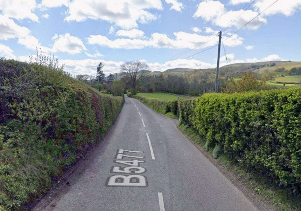 Calls for road safety study
 Thousands of NHS patients treated in hospital corridors
 Village war memorial to be restored to its former glory
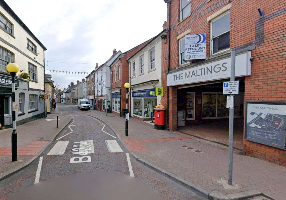 New eclectic eatery for town-centre spot
 ‘Tash’ Ashby death could yet lead to homicide inquiry
 Cats Protection Hosts Family Summer Event in Allensmore