

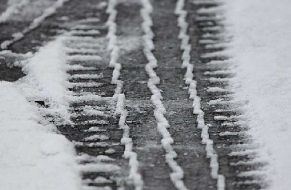
A yellow weather warning has been issued for snow and ice.
Forecasters said icy stretches are expected to develop this evening, due to ongoing wet surfaces following earlier rain and, in places, snowmelt. Frequent sleet or snow showers are also expected to affect Wales and parts of northwest England this evening, moving into southwest England, the Midlands and parts of southern England in the early hours of Tuesday. In addition to the ice, these are likely to produce snow accumulations of a few cm above 200 metres, with a small chance of greater than 5 cm above 200 metres in Wales. The heaviest snow showers may also produce temporary accumulations of 0-2 cm at low levels.
The warning covers Herefordshire, Shropshire, Monmouthshire, Gloucestershire and Worcestershire.
It will come into force from 5pm today until 10am on Tuesday.
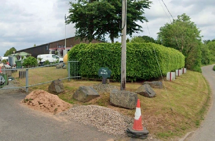 Holiday park plans refused
 ‘Shires’ authority plan to boost growth between Birmingham and Bristol
 Shop staying open later ‘deters ASB’
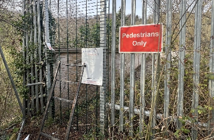 Wye Valley bridge closure sparks fear residents are being ‘fobbed off’
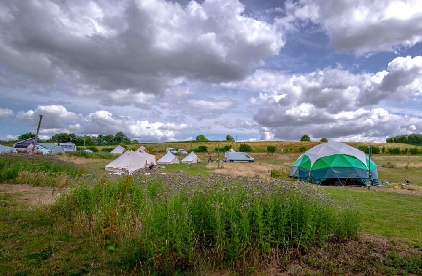 Farm festival organisers hit back over sound complaints
 Man charged with armed robbery offences
 Go-ahead for extra rooms at historic Hereford hotel
 Parked cars ‘stop me getting on bus’
